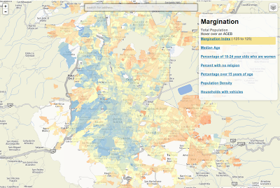
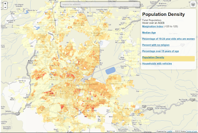
Just some maps of the Mexico City metro area based on the 2010 census. You can search by address and switch to satellite view. If the maps seem slow I suggest you use chrome.
- Margination Index (at the AGEB level)
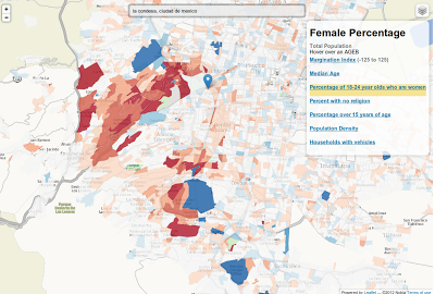
- Percentage of 18-24 year olds who are women
- Percentage over 15 years of age
- Median Age
- Population Density
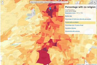
- Percent with no religion
- Households with vehicles
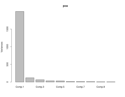
To calculate the margination index I used the first principal component of the percentage of the population with at least one year of college, households with a dirt floor, households without electricity, etc
When it comes to attracting young women to their neighborhoods the mirrreys beat the hipsters hands down (though the suburbs are probably not the best place to actually meet women).
I also wonder what’s up with all the non religious persons in La Condesa and Roma Norte. The UNAM I can understand, I’m guessing I didn’t get the memo on the hipster heresy.
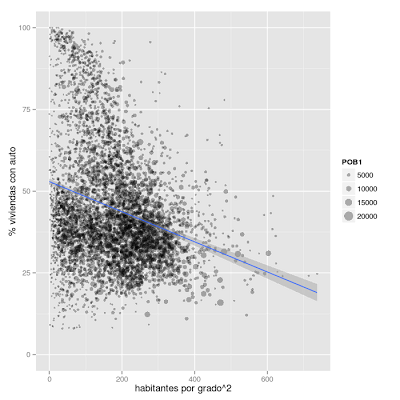
There’s also a negative relationship between car ownership and population density, though obviously a lot more variables are involved. The rich areas and the outer ring surrounding the urban center are low in population density, while the poor mostly live in high population density areas.
