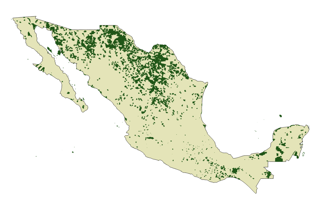
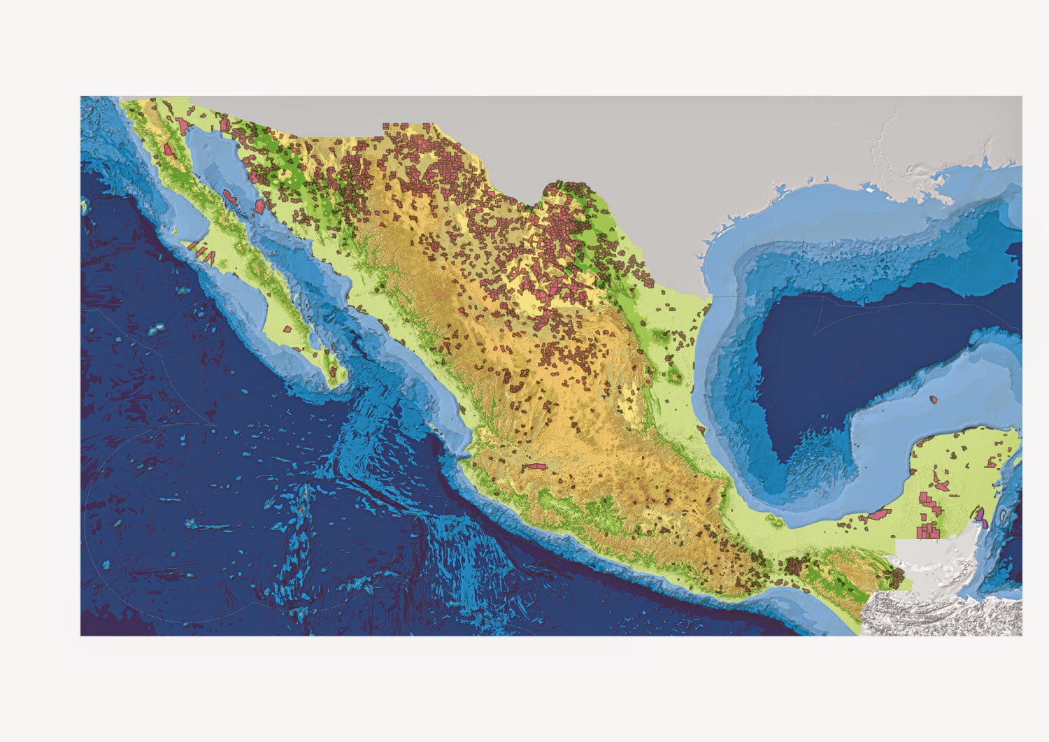
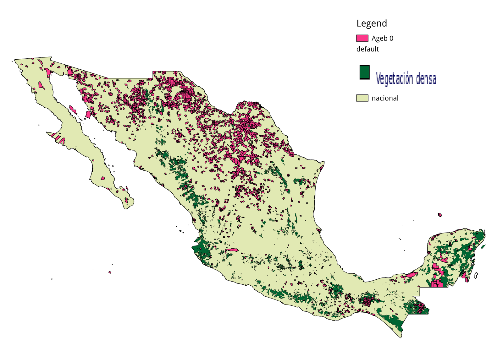
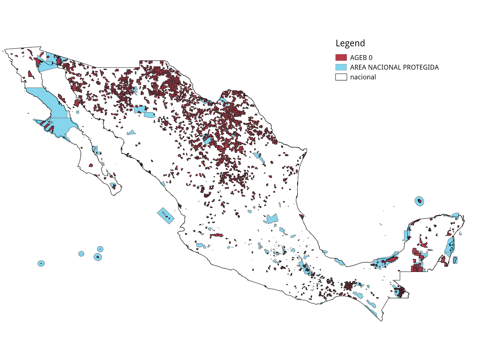
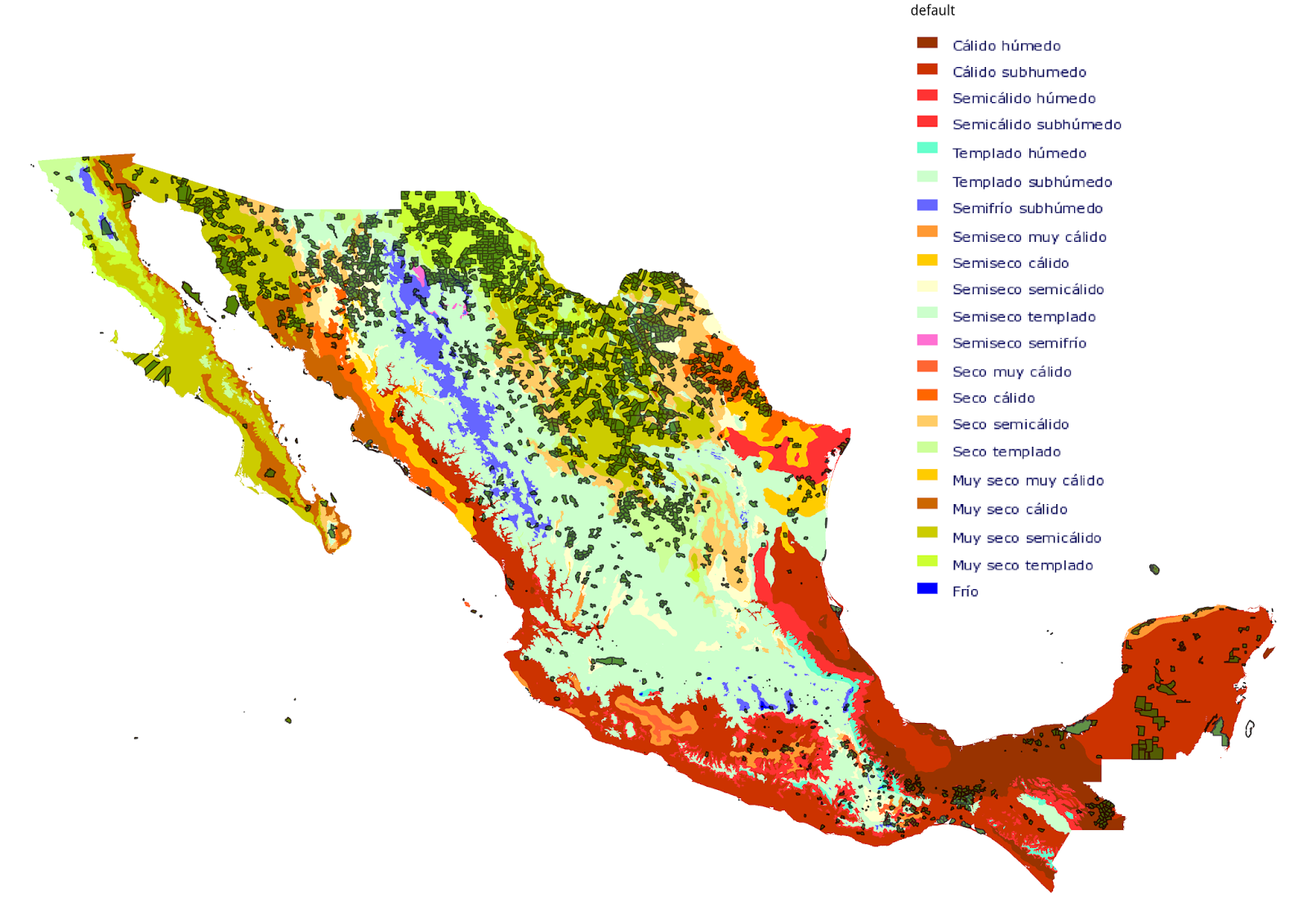
Posted on Wed 10 December 2014

Nobody lives here

This is an interactive map of all rural AGEBs that contain no localities and thus are empty of permanent residents. If you compare it to the US version, the total area with no people living inside it is much smaller since the data in Mexico is only available at the AGEB level (kind of like Census Tracts), whereas the data in the US is available at the Census Block level which are much smaller. Since there are no polygons available for rural localities, only points, I counted all rural AGEBs that contained a locality as being inhabited.

With a relief map
With dense vegetation

By type of climate
With protected areas (Área Nacional Protegida)


The code is available from GitHub


Unless otherwise stated, the content of this page is licensed under the Creative Commons Attribution 3.0 License, and code samples are licensed under the Apache 2.0 License. Privacy policy

Disclaimer: This website is not affiliated with any of the organizations or institutions to which Diego Valle-Jones belongs. All opinions are my own.

Special Projects:

Blogs I like: