Posted on Mon 14 November 2022

Shapefiles from the 2020 INEGI Census

Streets of Mexico City

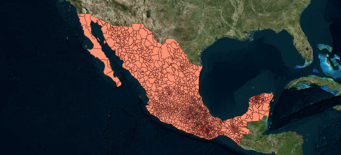
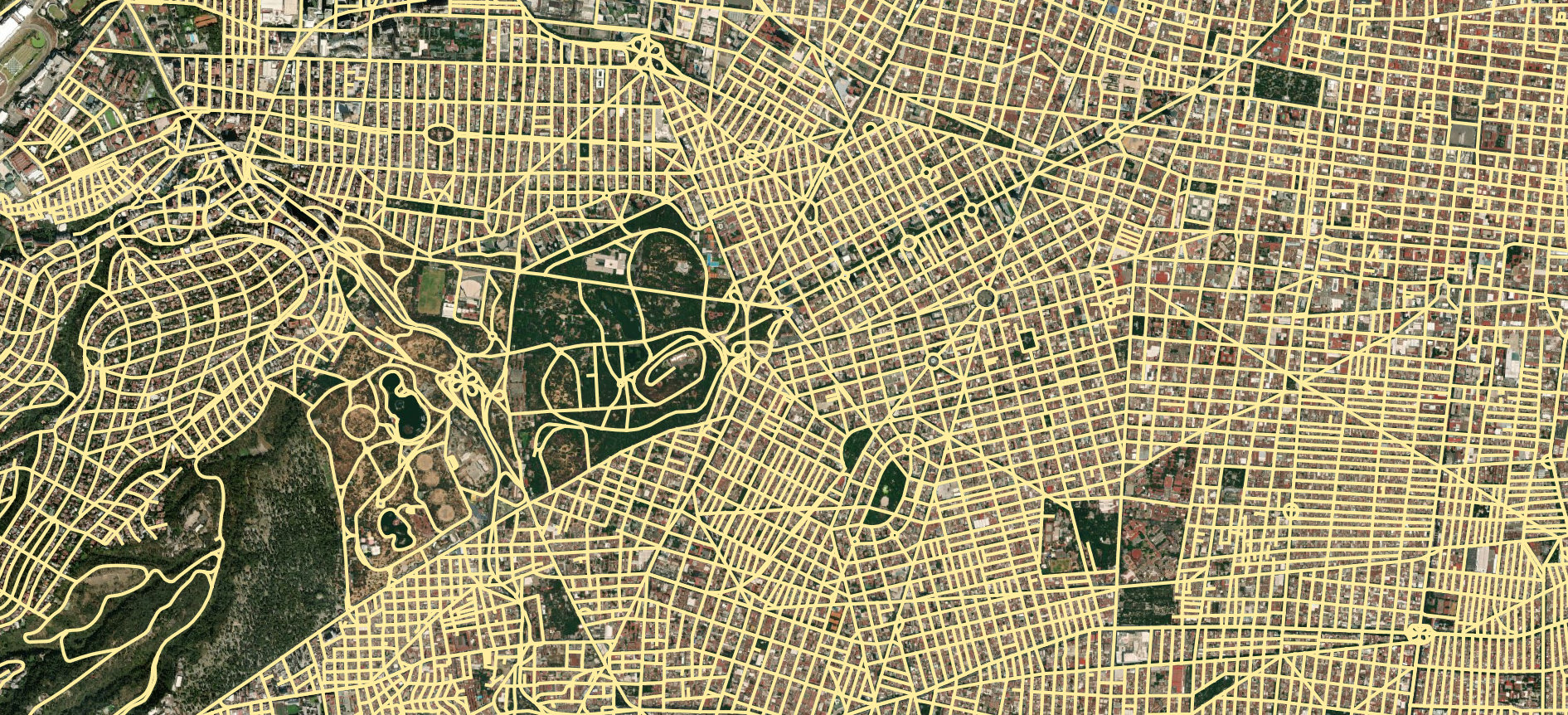
You can now download shapefiles of selected geographic areas from the latest INEGI SCINCE database. In addition to geospatial information on state and municipios, the files include AGEB and manzana boundaries. The files are available in shapefile format and include demographic data

If you don’t know how to run the script or prefer to simply download the data, you can subscribe to my newsletter (one email per post) and you’ll get the shapefile download links directly in your inbox as a bonus.


If you use linux you can use the following script or if you’re unable to run the script you can always use the docker image

1
docker run -v "$(pwd)/scince_2020":/scince_2020 diegovalle/scince_2020


Streets of Mexico City


Unless otherwise stated, the content of this page is licensed under the Creative Commons Attribution 3.0 License, and code samples are licensed under the Apache 2.0 License. Privacy policy

Disclaimer: This website is not affiliated with any of the organizations or institutions to which Diego Valle-Jones belongs. All opinions are my own.

Special Projects:

Blogs I like: