Category: posts | Atom Feed
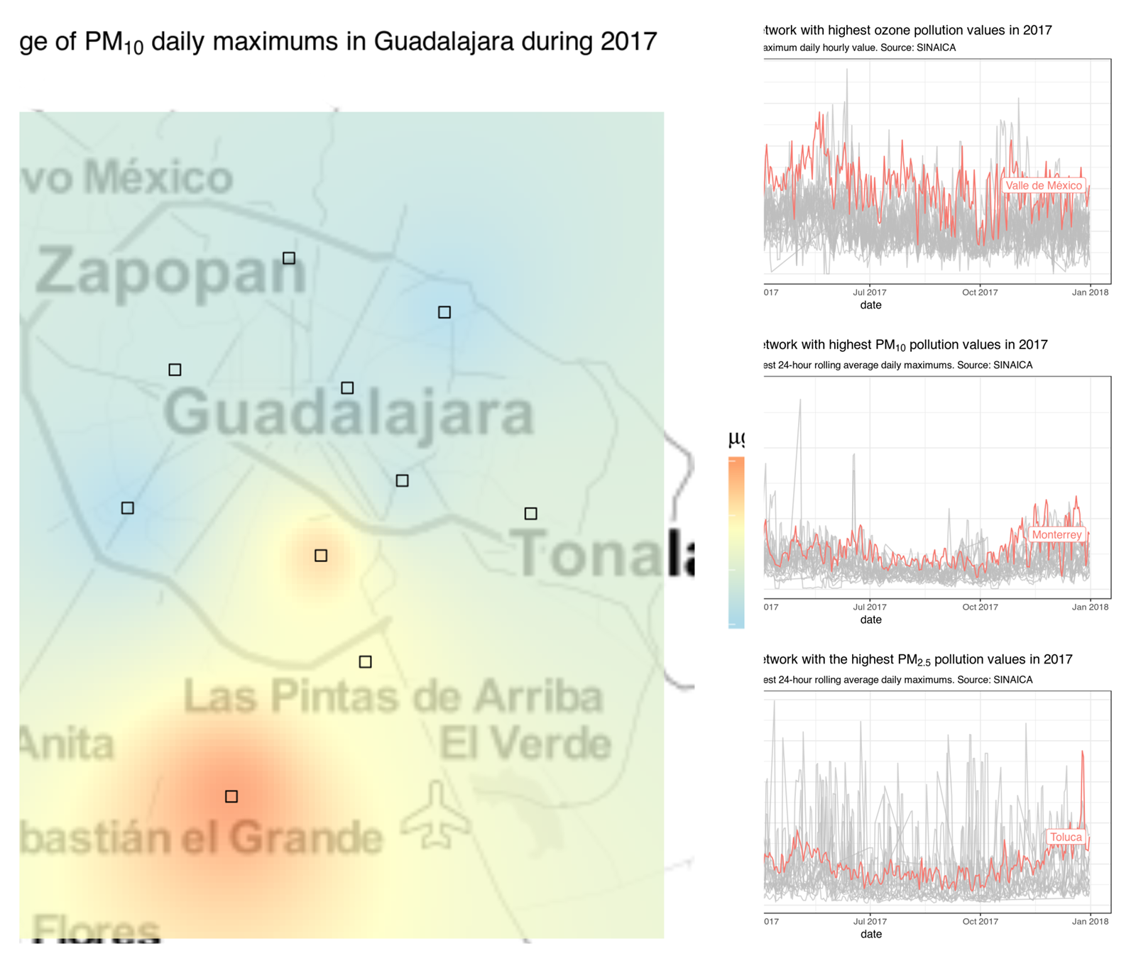
R package to download air quality data from more than a 100 monitoring stations throughout Mexico
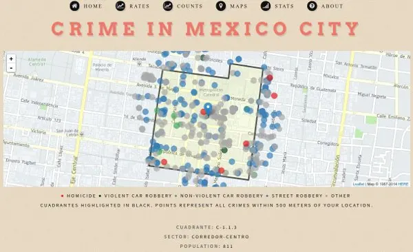
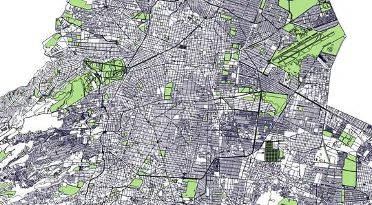
Use the hoyodecrimen.com API to create maps of Mexico City crime by latitude and longitude

The 2015 population survey marked the first time since the 19th century that the Mexican government included a distinct category for people of Afro-Mexican descent.
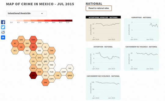
Each month the Secretariado Ejecutivo del Sistema Nacional de Seguridad Pública publishes crime information on its website. The crimenmexico website downloads, processes the data, and presents it in an easy to interpret format.
Unless otherwise stated, the content of this page is licensed under the Creative Commons Attribution 3.0 License, and code samples are licensed under the Apache 2.0 License. Privacy policy
Disclaimer: This website is not affiliated with any of the organizations or institutions to which Diego Valle-Jones belongs. All opinions are my own.
Special Projects:
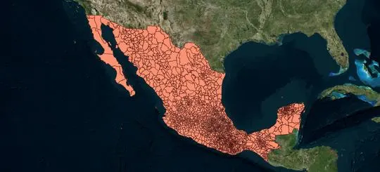
- Mexico Crime Rates - ElCri.men: Monthly Crime Report for all of Mexico
- Mexico City Crime - HoyoDeCrimen.com: Geospatial crime map of Mexico City
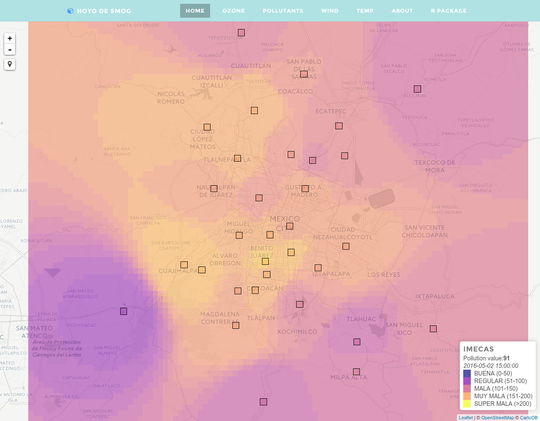
- Mexico City Air Quality - HoyoDeSmog
Blogs I like: