Update: También pueden descargar shapefiles del censo de población y vivienda 2020. Mi post de como
descargar shapefiles electorales resultó ser muy popular, así que cree
otro script para descargar las geografías censales del
INEGI. Todos estos datos están disponibles en el sitio web del
INEGI, pero son dificiles de encontrar, están disponibles sólo como archivos ejecutables para windows y los links tienden a cambiar cada par de meses.
Los archivos shape usan codepage 1252 y fueron reproyectados a
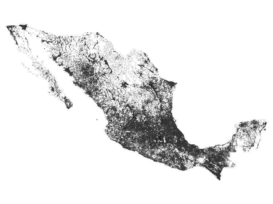
WGS84. Todos los atributos en los shapefiles son del censo 2010.
Ahora la parte difícil, para correr el script se necesita de una versión reciente de innoextract, una que funcione con los archivos creados por la versión 5.5 de Inno Setup. Las versiones disponibles en universe no son lo suficientemente recientes. La versión disponible en este repositorio funciona.
| sudo add-apt-repository ppa:arx/release
sudo apt-get update
sudo apt-get install innoextract
chmod +x download-census-shp.sh
|
El script al final de este post crea un directorio shps donde descarga todos los shapefiles
Geografías Censales:
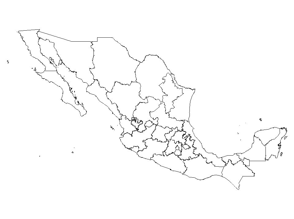
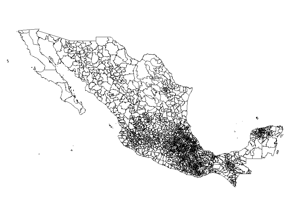
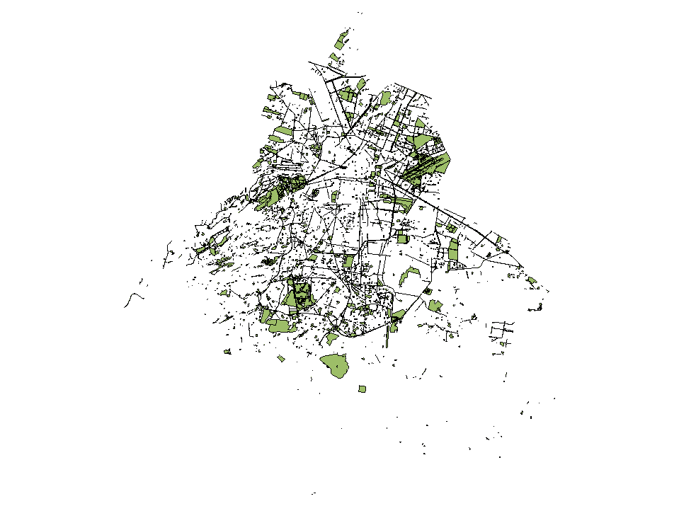
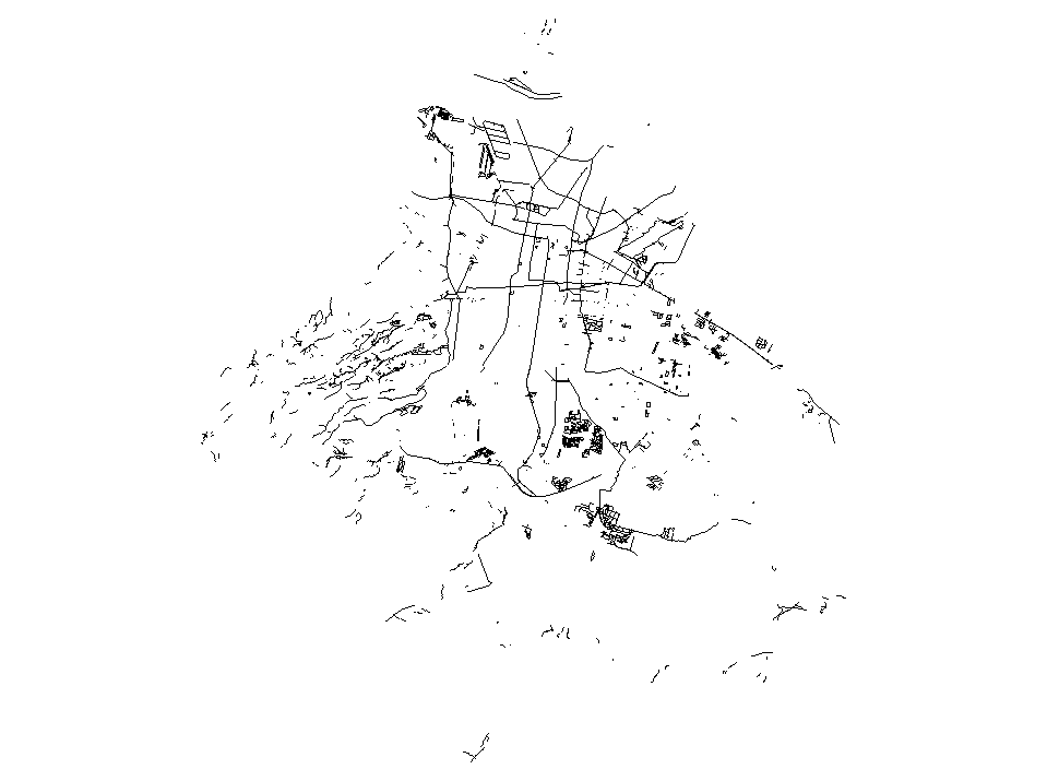
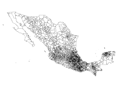
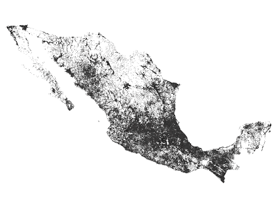
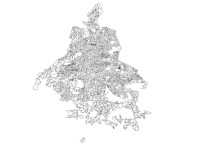
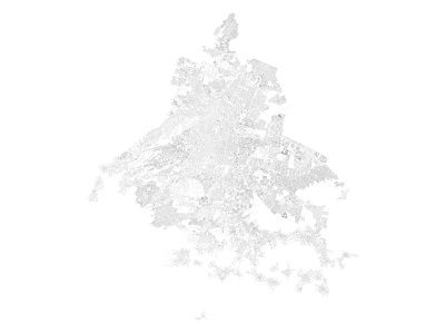
Estados -> Municipios -> Localidades -> AGEB -> Manzana

Municipios
Localidades
AGEB
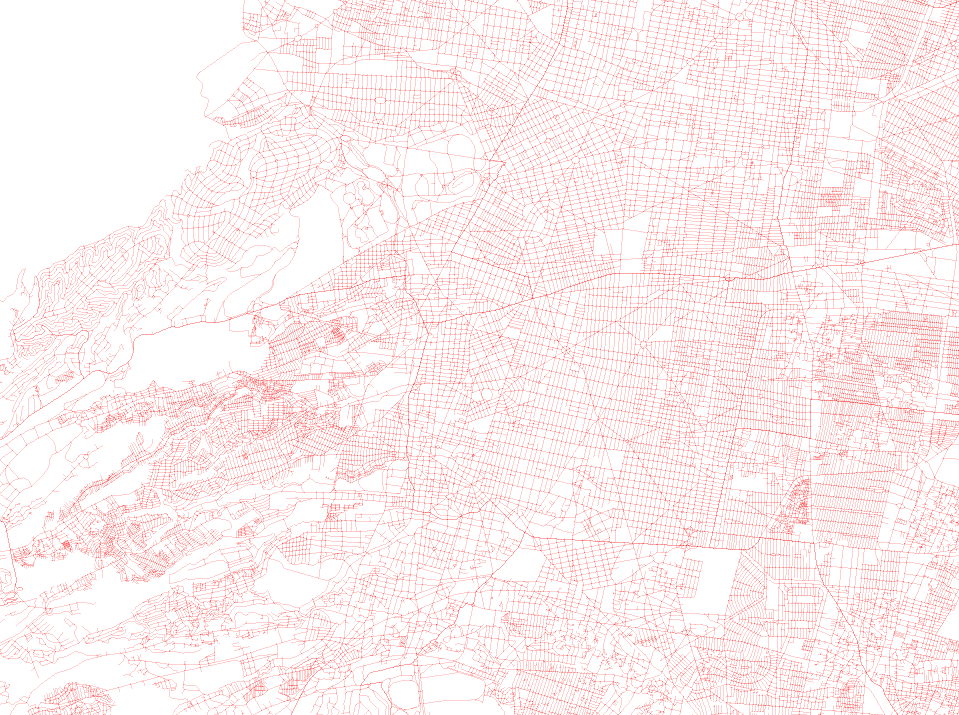
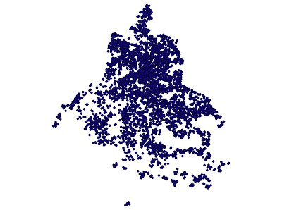
Manzanas
Ejes viales
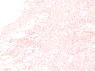
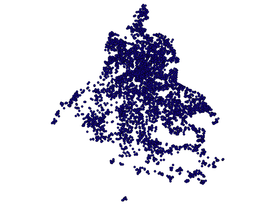
Servicios A
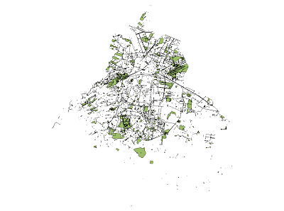
Servicios L
Tren Metropolitano, Lindero, etc

Servicios P
Iglesias, Escuelas, Hospitales, etc
Aquí el script para descargar los shapefiles:
P.S. Pueden enviarle un mail al INEGI y decirles lo que opinan de como distribuyen los datos
P.P.S. Si necesitan shapefiles de sitios arqueológicos, ríos, curvas de nivel, etc. prueben con este otro script
Update: También pueden usar docker para descargar los shapefiles si no quieren instalar los requerimientos para correr el script de este post
| docker pull diegovalle/scince2010-docker
# shared directory to store the output
mkdir /tmp/scince2010
# run ./download.sh within the container and the files should be ready
# in /tmp/since2010
docker run -v /tmp/scince2010:/shapefiles/shps -i -t diegovalle/scince2010-docker
|